管理人ブログ
- 春帆楼 2014年2月22日
- 飯塚ダイマルコーポ柏の森 いよいよ募集! 2014年1月21日
- 飯塚ダイマルコーポ柏の森 2013年12月30日
- 役員合宿 2013年11月17日
- 富士弾丸登山 2013年8月24日
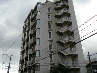
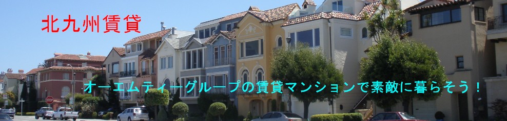
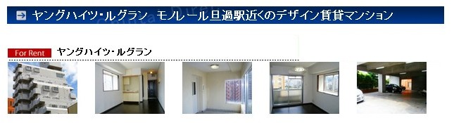
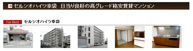
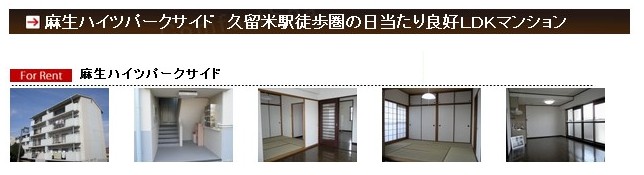
オーエムティーグループの賃貸マンション紹介
福岡県内の利便性良い地域で、シングル・ファミリー物件を取り揃えています。
ホームページからのご成約時には、プレゼント(32インチ液晶TVや家電セット等)を進呈します!
各賃貸マンションの詳細は、右欄のマンション名をクリックしてください。
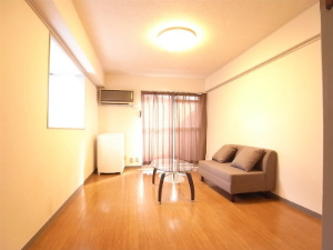
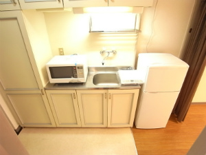
家電・家具付きのシングルルームもご用意しています。
春季・秋季入学シーズン限定♪ 学生さん向きシングルマンションではプラス礼金1ヶ月でなんと!
↓↓↓
・照明 ・IHクッキングヒータ ・電子レンジ ・冷蔵庫 ・32インチTV をプレゼント!
賃貸マンション所在地(福岡県北九州市、飯塚市、久留米市、苅田町)